RMRI Partners Reflect on Milestones in Upper South Platte Landscape
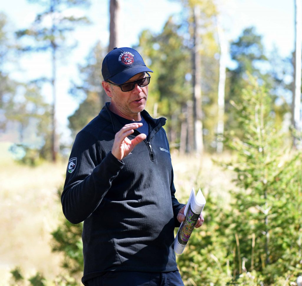
On Sept. 27, Rocky Mountain Restoration Initiative partners took to the field to tour conservation project sites on the Upper South Platte Landscape and discuss accomplishments.
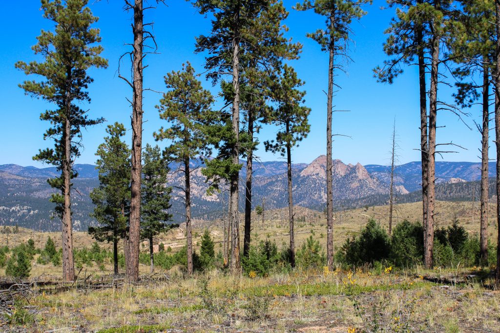
Located west of Denver, Colorado, the Upper South Platte watershed holds immense significance as it supplies over 80% of the water required by the 2 million residents of the Denver and Aurora metro areas. However, this vital region is also exceptionally vulnerable to severe and devastating wildfires, as exemplified by events such as the rapid spread of the 1996 Buffalo Creek Fire, which consumed 12,000 acres in just two days, and 2002 the Hayman Fire, which burned over 135,000 acres and stands as one of Colorado's largest wildfires.
Additionally, just under half of Colorado residents live in the wildland-urban interface (WUI)—the area where man-made structures like homes are built close to flammable vegetation. Work in this landscape aims to create healthy forests and fire-adapted communities to mitigate the effects of catastrophic wildfires.
Supporting the purpose of the Upper South Platte Partnership, established in 2015, the Rocky Mountain Restoration Initiative chose the Upper South Platte Landscape as one of its three initial landscapes for restoration. Looking back on the accomplishments made during the past year, partners toured three project sites, discussing the impact on RMRI’s shared values of providing safer communities, clean water, healthy forests and wildlife and recreation opportunities.
Alderfer/Three Sisters Park
The tour began at Alderfer/Three Sisters Park near of Evergreen, Colorado. Jefferson County Open Space, a partner of RMRI, led this initiative, which involves ongoing forest health treatments across approximately 240 acres of ponderosa pine and Douglas-fir forest within the park. The project commenced in August and is anticipated to conclude by spring 2024.
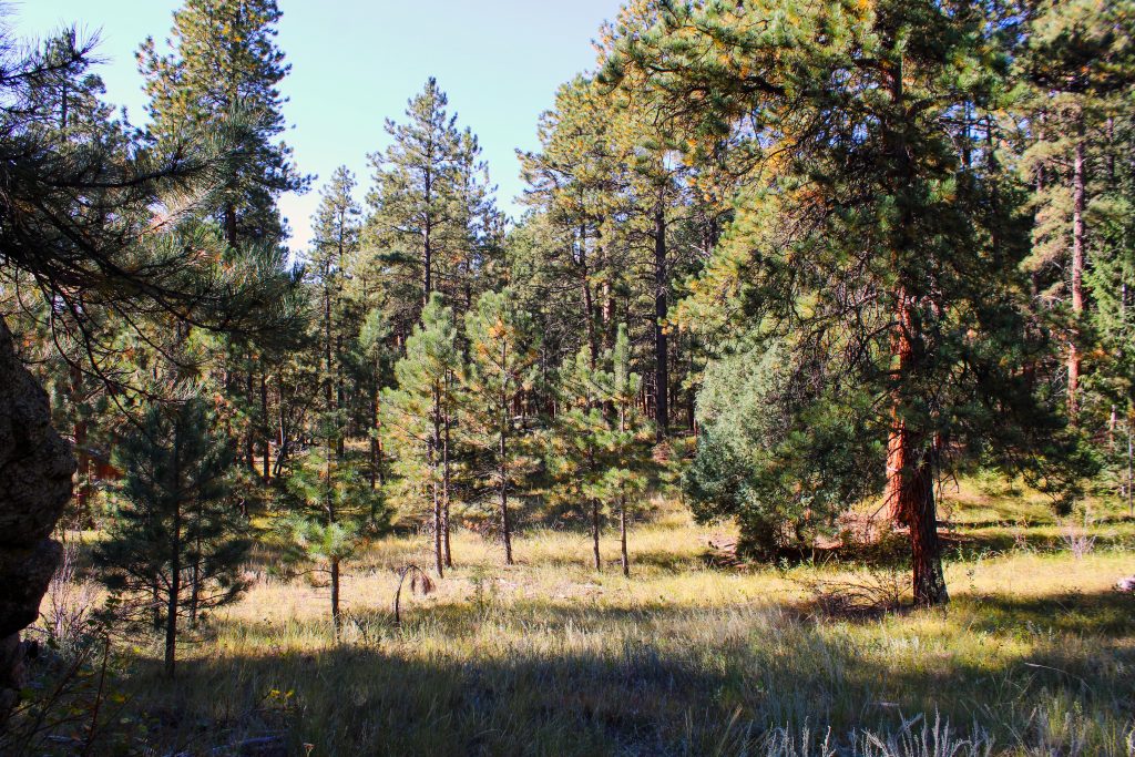
The forest management efforts undertaken in the park encompass the removal of seedlings, saplings and larger trees to reduce the overall density of the forest. As these densely packed areas within the forest are thinned out, they will create a more open environment that encourages the regeneration of aspen trees, shrubs, grasses and wildflowers.
Eliminating fire on the landscape is not the goal, but rather to emulate the natural processes of fire. The work carried out in the park is aimed at enhancing the forest's resilience to catastrophic wildfires, slowing their spread and reducing their intensity to safeguard critical wildlife habitats and neighboring communities.
Furthermore, this project will contribute to the park's recreational appeal by establishing and revitalizing trails, while also providing an opportunity for wildlife to thrive in the restored areas.
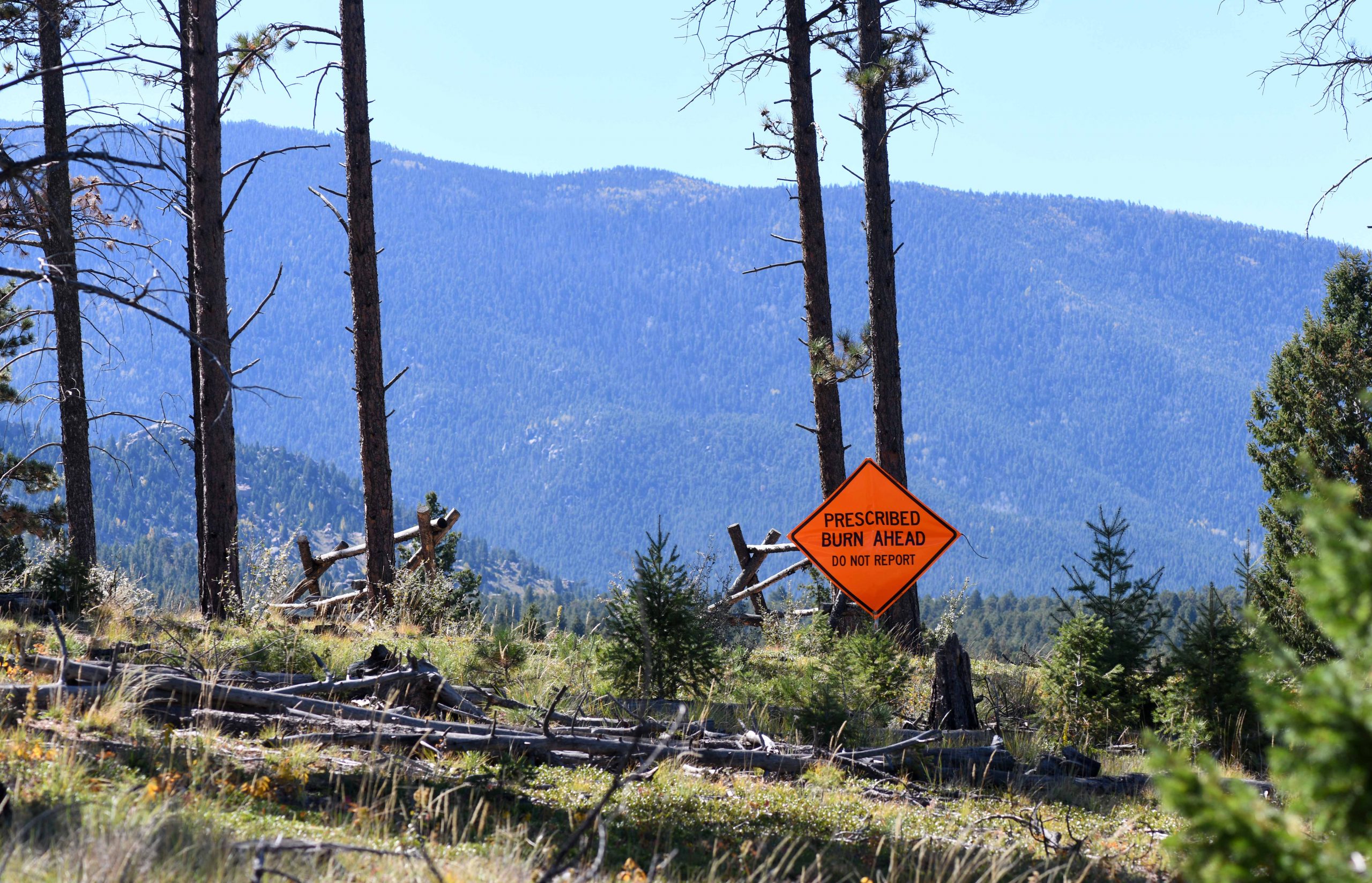
Sand Springs Prescribed Fire Site
In July of 2023, the US Forest Service South Platte Ranger District successfully carried out an unprecedented prescribed burn operation along the Colorado Trail within the Pike National Forest. Benefiting from a season of ample spring rainfall, the Forest Service seized the opportunity to execute this burn during the summer months.
The project encompassed a controlled burn spanning 250 acres, strategically designed to mitigate wildfire hazards and bolster the resilience of the forest in an area highly frequented for recreational activities. The selection of this particular area was deliberate, as it lies adjacent to previously burned regions like the Buffalo Creek Fire, with the intent of establishing a contiguous landscape conducive to supporting lower-intensity fires.
Overall, the project promises a multitude of positive outcomes, including a reduced risk of catastrophic wildfires that could jeopardize human lives, property and water sources. Additionally, it aims to enhance forest biodiversity, foster wildlife habitats and safeguard recreational resources.
Private Property Within the Pleasant Park Corridor
The final destination of the RMRI field tour brought partners to view completed treatments conducted on privately owned land near Conifer, Colorado. This stop of the tour highlighted the significance of fostering collaboration with private landowners to establish defensible space around residences and communities.
Defensible space refers to the area surrounding a home or other structure that has been altered to minimize fire hazards. Typically, this involves treating and removing fuels in order to slow down the spread of wildfires. The creation of defensible space serves to decrease the likelihood of a home igniting either through direct contact with flames or exposure to the radiant heat from the fire. Additionally, it helps reduce the production of embers and lowers the chances of a structure fire spreading to neighboring homes or the surrounding vegetation.
In regions such as the Pleasant Park Corridor in Colorado, completing treatments on private lands and establishing defensible space within these communities holds paramount importance. The challenging aspect in this area arises from limited evacuation routes, making it essential to proactively mitigate fire risks.
“Most people seem to think when the big fire comes, there will be firefighters in their driveway trying to protect their homes, but the reality is that few areas around here would be safe to try to defend,” said John White, Colorado State Forest Service supervisory forester. “The land is too fragmented. There are too many homes. The evacuation routes are too dangerous. The forest is too dense, and the steep and rocky terrain creates a lot of challenges for fire suppression. The responsibility for protecting people’s homes and property lands first and foremost on the owners.”
There are many resources for landowners in Colorado, such as the LiveWildfireReady campaign that provides practical, low-cost actions that homeowners can take to reduce their risk of wildfire as well as the Colorado Wildfire Risk Assessment, a mapping tool that provides data to planners and residents about their risk of wildfire.
The RMRI field tour on the Upper South Platte Landscape underscores the critical importance of their work in this vulnerable region of Colorado. The initiative's dedication to creating healthier forests and fire-adapted communities is indispensable for safeguarding lives, property and the landscape. By embracing shared stewardship, the RMRI will continue to tackle the challenges and uncover opportunities in the restoration of critical landscapes in the Rocky Mountains.